


n05 - open air museum, mathendush, libya, 2009-2011
The Messak-Settafet is a plateau characterized by an astonishing black colour, the desert varnish or desert patina.
A dense sinuous net of wadis dissects the plateau: this is the scene of an impressive rock art gallery among the richest in the world.
The engravings, dating from 9000 BC, represent mostly hunting scenes with giraffes, elephants, goats, cows, felines and a crocodiles, a unique cultural testimony of prehistoric art and life.
Though the region was already protected by the Antiquities Law in Libya, oil prospecting activities started in the 1980s with some seismic surveying and the drilling of one exploratory well.
The project Open Air Museum Mathendush has at its core the survey and protection of the area; developed since 2000 by the Italo-Libyan Archaeological Mission, it defines areas of accessibility and strategies for their restoration, while on the other hand cultivating and disseminating knowledge, which is the essential basis for protection and preservation.
The hidden memory of the proposal lives in a route through the desert and a caravansary.
Deserts are inhospitable to men.
Travellers started building artefacts in which to provide rest and protection during the journey and to exchange information with other travellers.
The Persian word kārvānsarā is a compound word combining kārvān (caravan) with sara (palace, building with enclosed courtyards), to which the Turkish suffix -yi is added.
In North Africa there is also the tradition of Qasr, ksar, which identifies fortressed cities or villages as castles as well as granaries, as Qasr al-Haj.
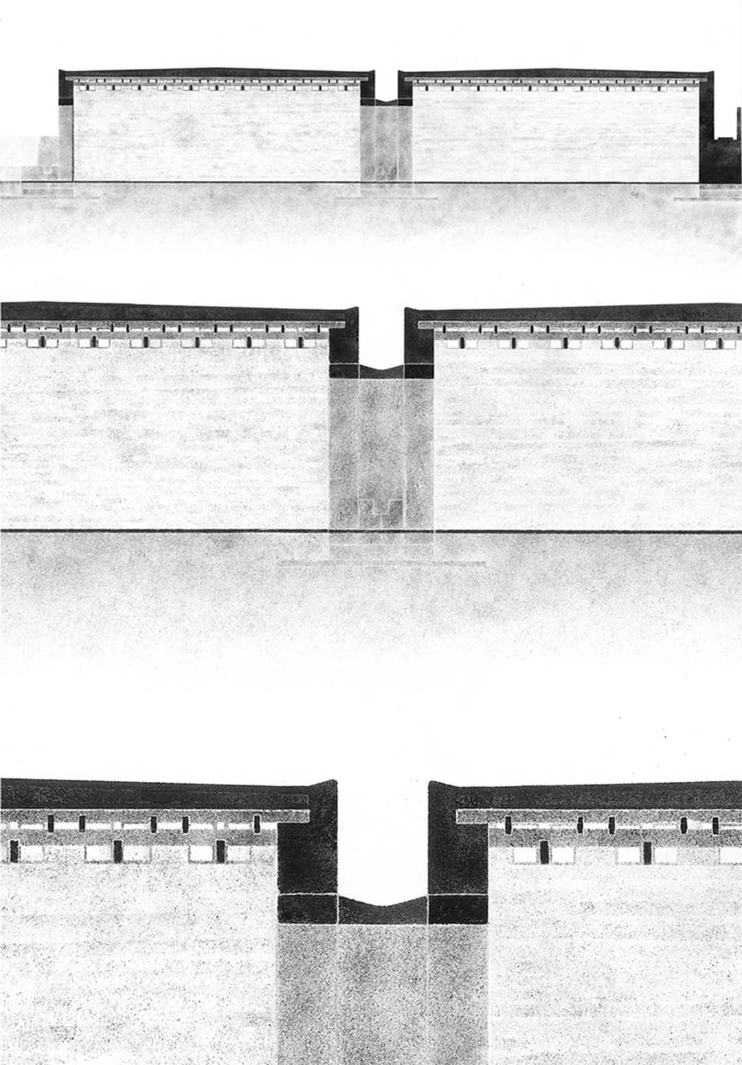
Those buildings, traditionally built on the most elevated areas, were closed massive constructions, with very few openings, hosting wide courtyards like secret and paradisiac worlds: there could be found food, shade, water and vegetation.
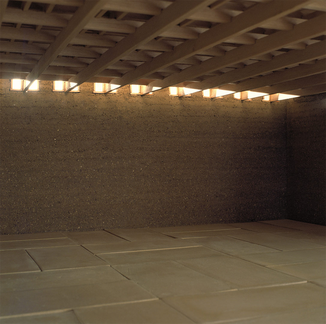
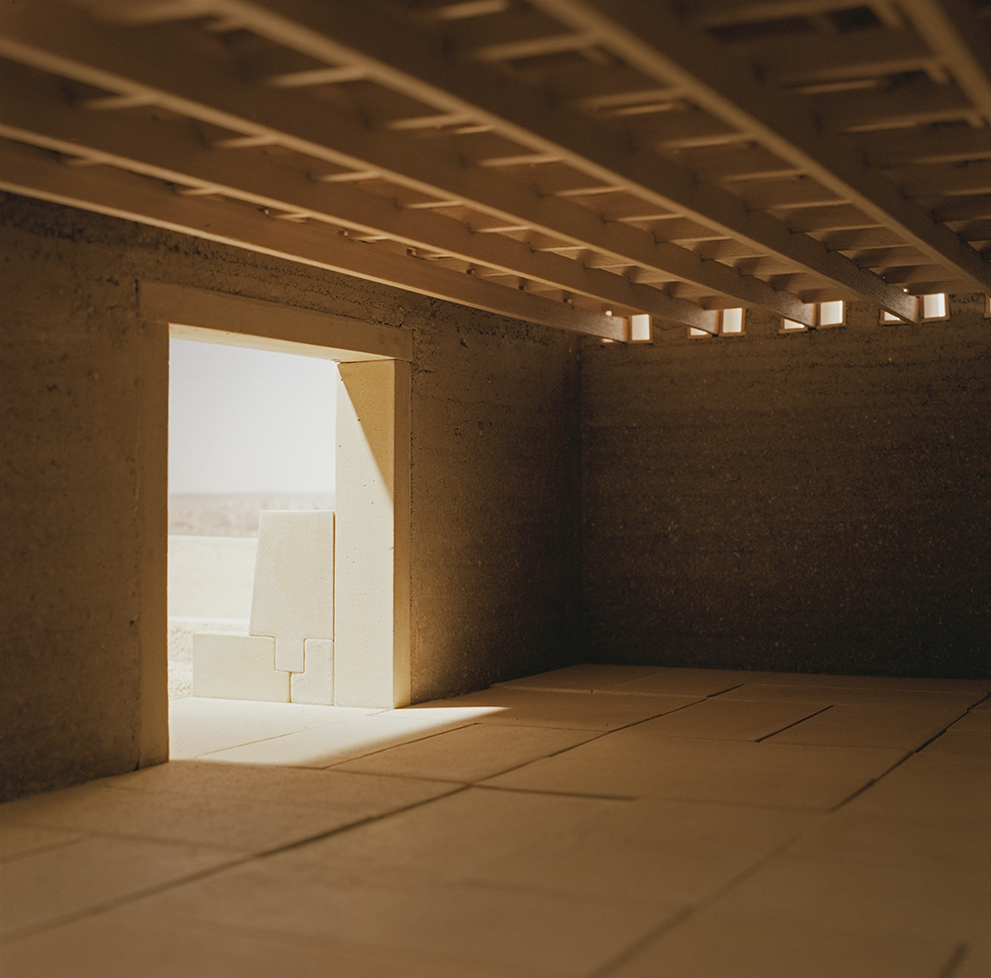
Stone blocks, rammed earth walls, wooden roof plots and tents make up the ingredients of a chromatic and tactile orchestration within the context.
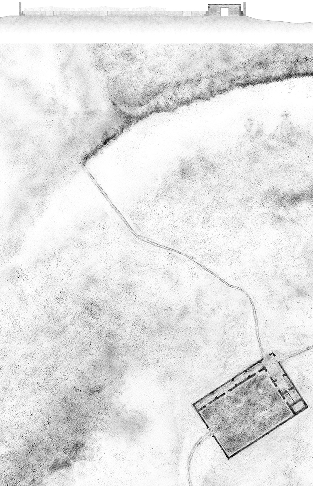
The service area is defined by a low wall 1.20 m high; it hides the parked cars, protects visitors from wind and allows an open view towards the landscape.
The service area has a rectangular plan, where services are arranged on “L “shape on the perimeter.
The service spaces are defined by an additional system of low walls and high walls: the open air ones host the start and end point of the visit path, the belvedere towards the rock art scarp, a tuareg craft trade area shadowed by tents; the covered ones host the information area, the room for the tuareg guardians, the services and the technical equipment.
The visit path is defined by punctual stones, which correspond to visit stops panels either to no-trespassing marks.